
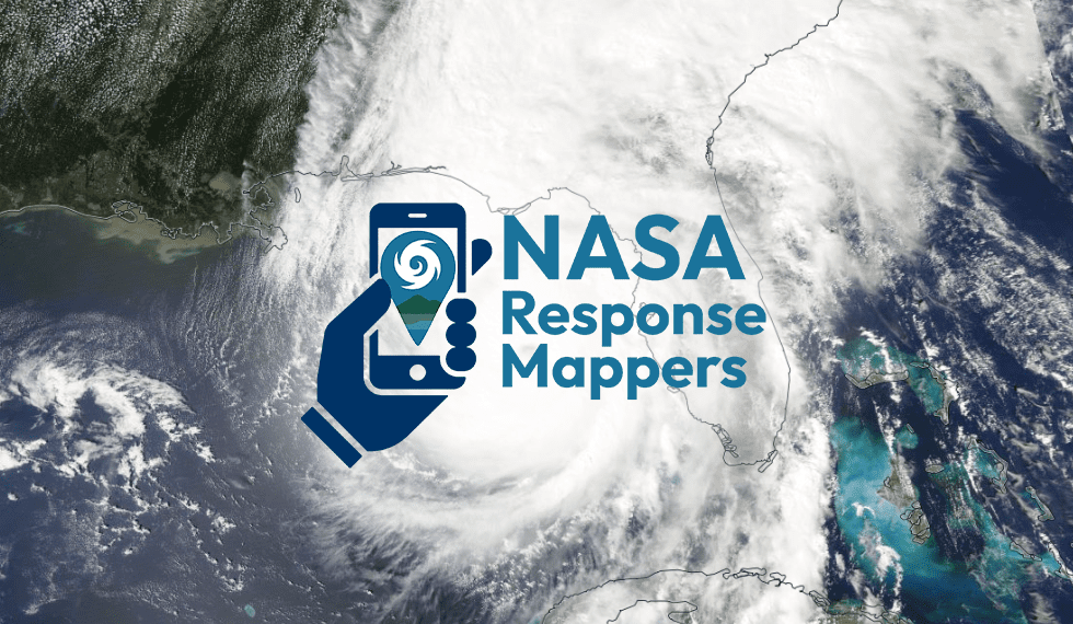
NASA Response Mappers Citizen Science Project
Join the NASA Response Mappers Citizen Science Project this Hurricane Season!
This summer and fall, NASA and GLOBE invite the public to participate in a new citizen science initiative. If you live in the Southeastern region of the United States*, you can help fill vital information gaps by submitting land cover photos before and after hurricanes using your smartphone. Land cover photos submitted through the GLOBE Observer app before and after a storm can help disaster response teams track conditions on the ground.
The data collection requires regular observations during the peak hurricane season. Documentation of no change is also helpful. For the data to be impactful, regular (weekly or monthly) observations of a particular location are needed over a wide geographic area.
The project is seeking data collection in Puerto Rico, the U.S. Virgin Islands, and the states of Alabama, Florida, Georgia, Kentucky, Louisiana, Mississippi, North Carolina, South Carolina, Tennessee, Texas, and Virginia. This is the target area, but everyone is welcome to participate!
Active Dates
- August 1 to October 31
Get Involved
- Download the GLOBE Observer app to a smart device.
- Join the NASA Response Mappers team.
- Use the GLOBE Observer app to take land cover photos of the same location periodically, ideally once a week or month.
- Spread the word!
More Information
- Visit the GLOBE Observer NASA Response Mappers page for all the details on participating.
- Read about the project background from the NASA Disasters Program.
- Share with your community about how to Become a NASA Response Mapper (globe.gov; includes links to other sites).